Stormwater Update: Hilary Brings Summer Soak to SoCal
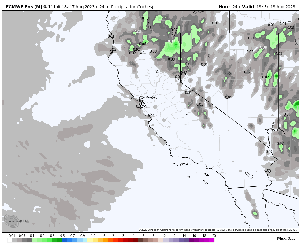
Hurricane Hilary will approach from Baja and likely decrease in intensity making land fall as a tropical storm. An estimated 3 to 6 inches of precipitation is predicted for the south and an inch or so is expected mid-state up through the Tahoe region. (WeatherBell.com)
Hope everyone enjoyed summer–ready for rain again?
An unusual hurricane land fall (first since 1939) is forecasted to hit Southern California beginning as early as Saturday with rain lasting through Monday or Tuesday. Hurricane Hilary will approach from Baja and likely decrease in intensity making land fall as a tropical storm. An estimated 3 to 6 inches of precipitation is predicted for the south and an inch or so is expected mid-state up through the Tahoe region. Friday is going to be your only opportunity to clean up and make sure everything is covered and secure for the rain. Based on current models, we would not expect this to be a Qualifying Event as discharge at most facilities will begin on Saturday in the southern regions. Do prepare your sampling kits in advance as the storm may come in later than predicted and Monday would then be a Qualifying Event and require sampling. The mid-state region (up to Sacramento and east, SF will be dry) will need to be ready to sample Monday in the event of enough precipitation making it north.
As always, reach out if you have any questions.
Need Stormwater Help?
Call us at (833) 420-7761 or click the button below to schedule a FREE, no-obligation assessment from a Stormwater Pro.
RELATED POSTS


